KARKARALY

Location:
Kazakhstan, Astana
Year:
2021
Status:
Designed
Area:
128ha
Work done:
Urban planning
Site plan
Visualization
The team:
Katerina Kovaliova
Pavel Nishchanka
Yuri Korolev
Tatsiana Palkhouskaya
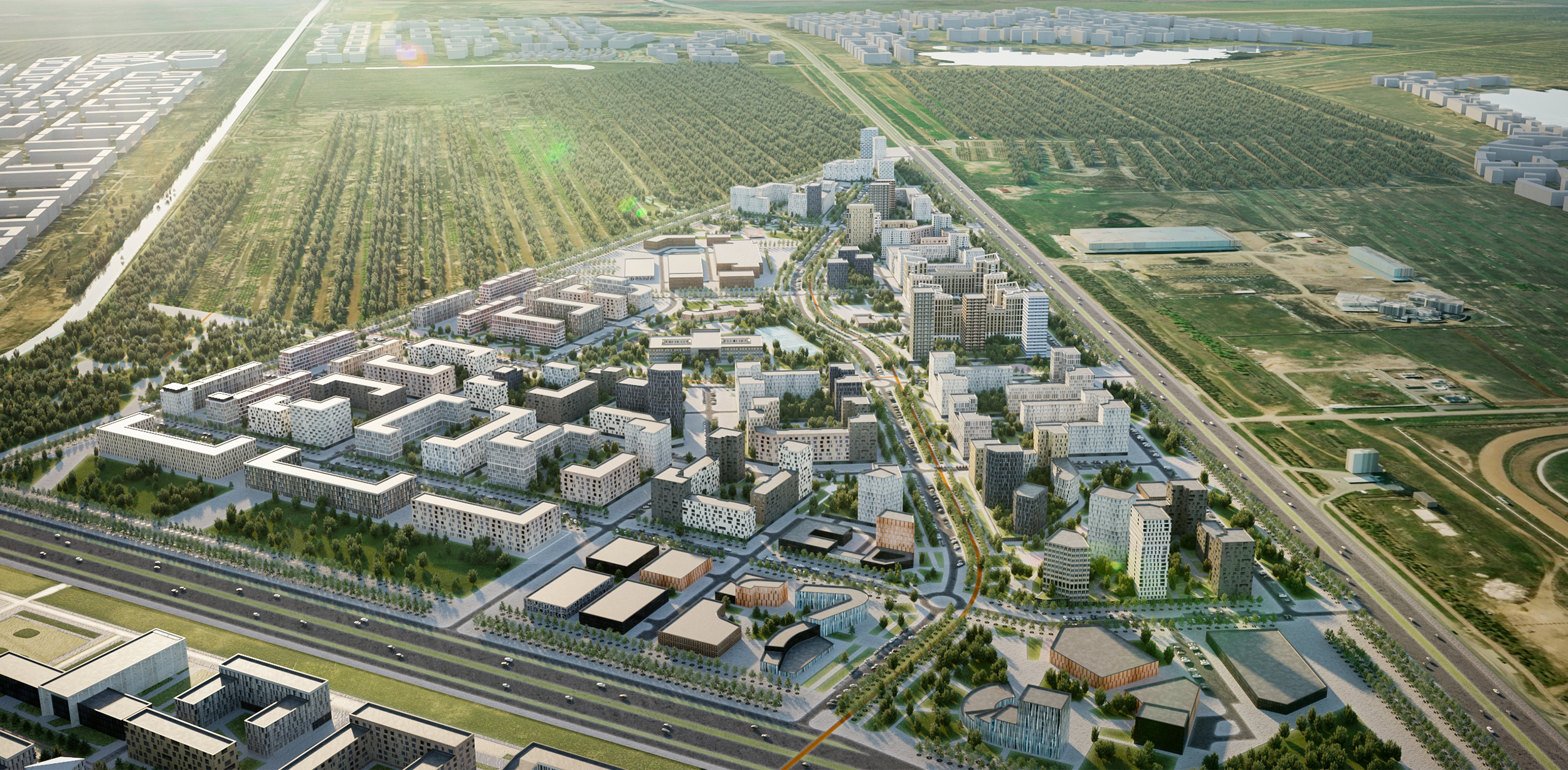
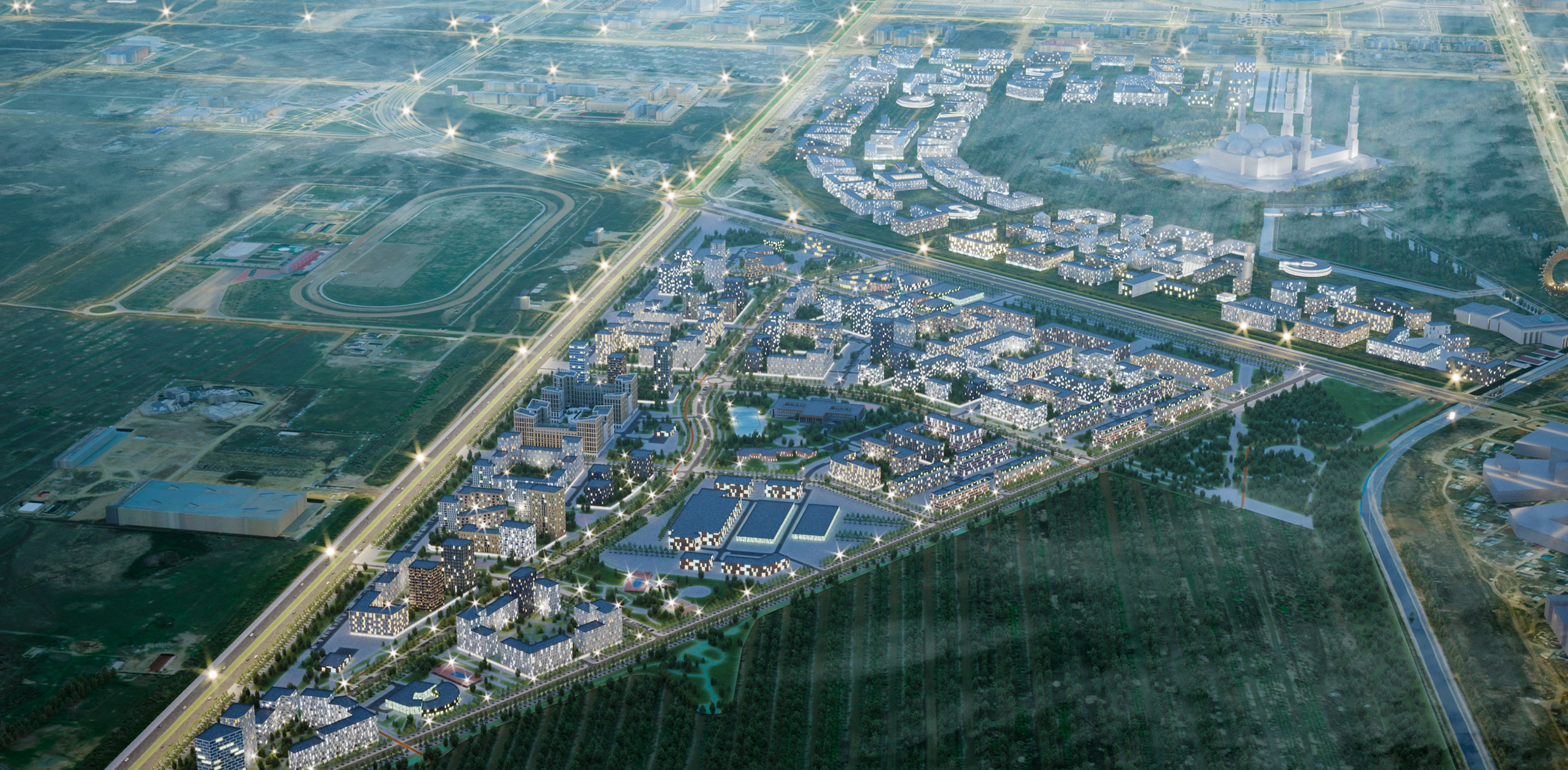
KARKARALY is a new versatile residential district of Astana. It is located in the southern part of the city in direct proximity to GRAND MOSQUE. The area is set to become home to the city’s biggest park and a
new residential district.
The designed site is located at the intersection of highways making the territory easily accessible from anywhere in the city. The Green Belt of Astana and the Nura-Ishim Canal are conveniently located within walking distance. A bike lane runs along the territory, linking the city center to the recreation area.

Principles of territory formation
1. To create the most rational planning framework of the design area, taking into account the specific triangular shape and already designed objects.
2. The design area is adjacent to the construction site of the GRAND MOSQUE. It is necessary to provide visual corridors for the most complete perception of the new urban dominant.
3. The design area is located between three large arrays of green spaces. It is offered to arrange continuous access to green spaces for district residents by creating a main boulevard in the north-south direction and two transverse boulevards to the territory of the green belt.
4. To provide access to green spaces and transport infrastructure from each block.
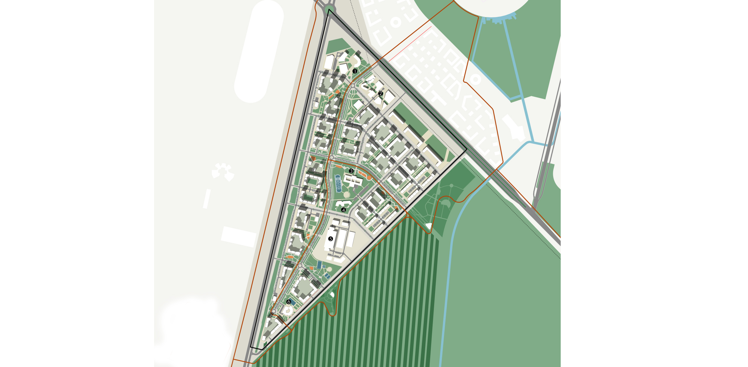
1. Administrative development complex with a hotel and a business center
2. The buildings of Kazakh National University of Arts
3. Secondary school for 2000 students
4. Kindergarten and primary school
5. Parking lots for special equipment and related infrastructure
6. Secondary school for 500 students
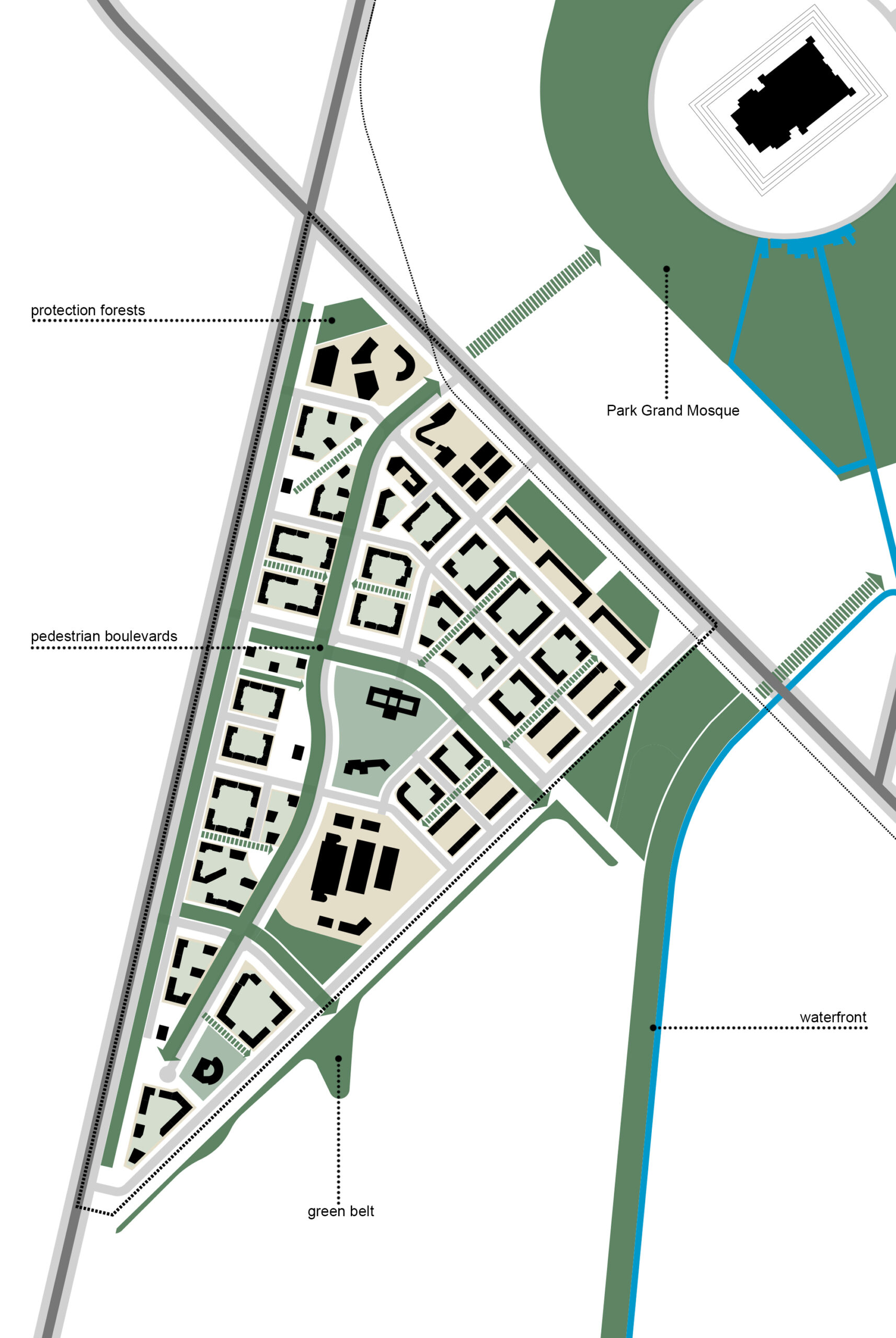
Water-green framework
It is proposed to create a single water-green framework of the district, thereby ensuring access of residents of each block to the natural territories and city public spaces.
The green framework is a developed hierarchical structure with different ways of use:
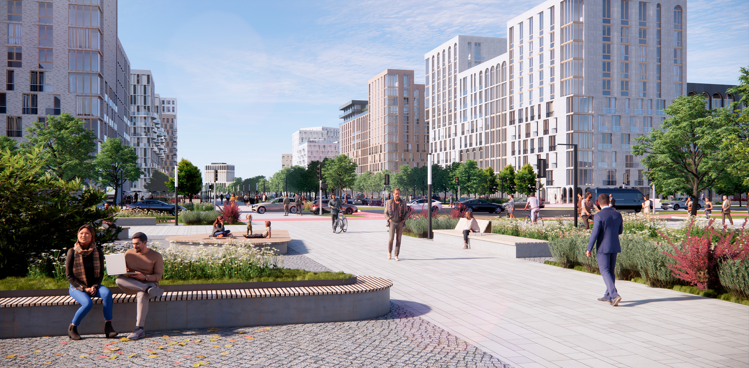
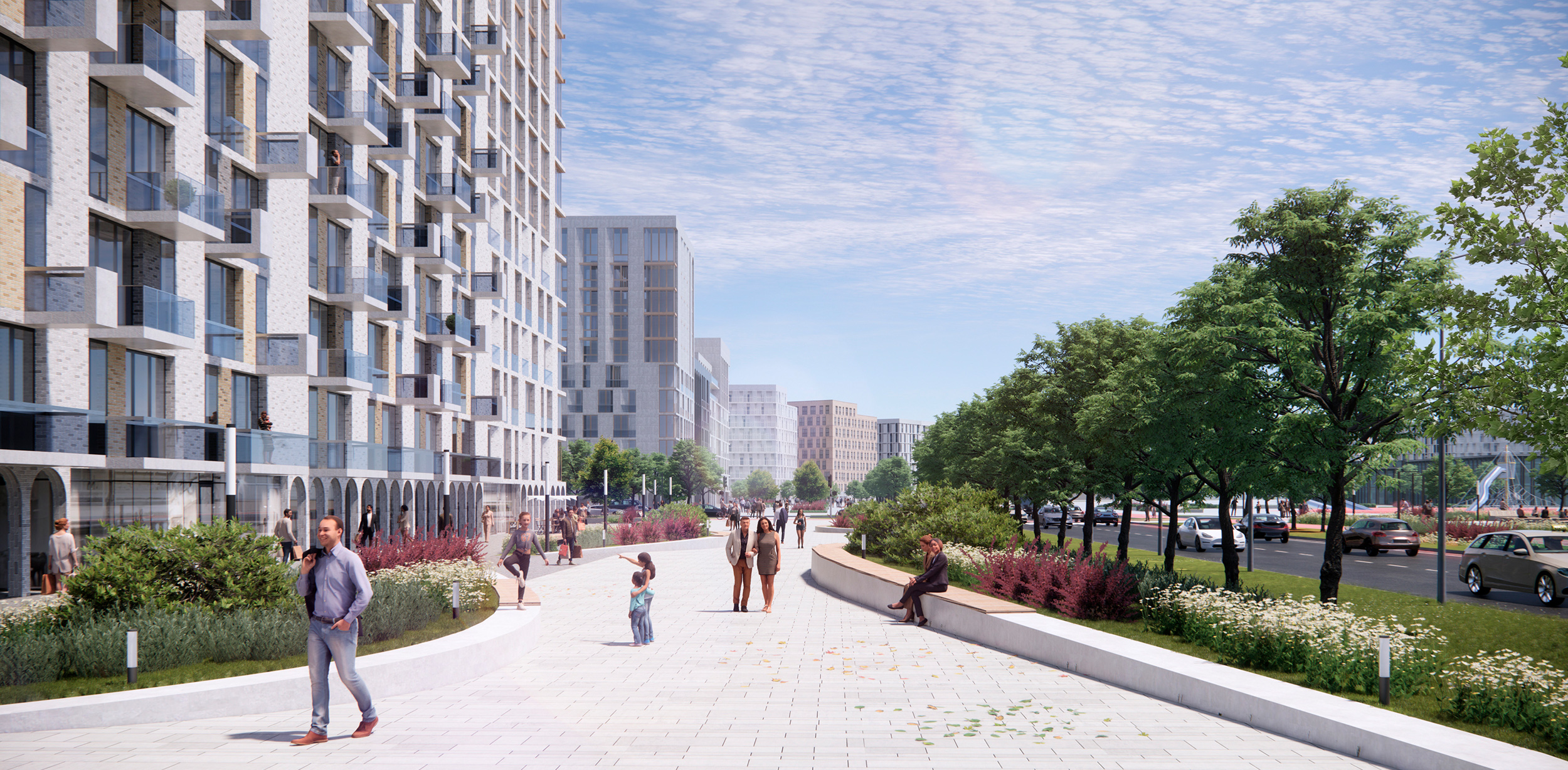
The Green Boulevard — the primary planning axis of the district — runs through the area from north to south, and leads to the designated park around Grand Mosque. Two boulevards cater to access to the green belt and the embankment of the Nura-Ishim Canal and run perpendicular to the main one from west to southeast.
Additional green connections will allow access to the main public spaces of the district from residential buildings not facing the main boulevards. Residential blocks design implies closed green courtyards without car access in each block.
A public walking area is created along the green belt, separating the territory with a more nature-protected way of use. The building front along the main highways is protected by forest plantations.
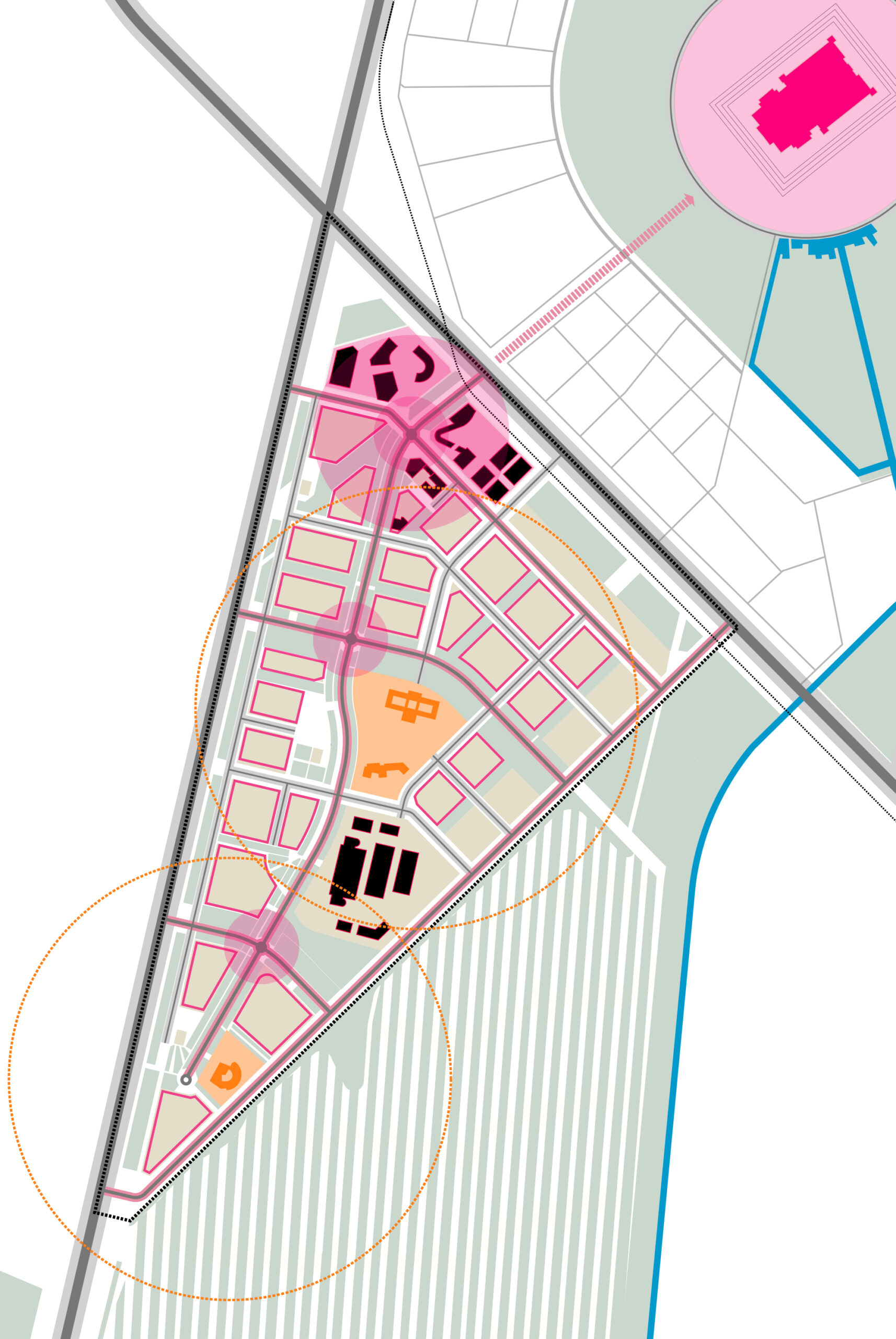
District service system
The project ensures a developed service system, including city-level facilities, social infrastructure, public sub centers, and built-in commercial facilities.
The projected area is spatially connected with the GRAND MOSQUE complex, which is a global center. A city-level center is formed at the junction of the district with the avenue. The infrastructure of the district level, including social facilities, is located at the intersections of the central boulevards and adjacent to the boulevards and thus has good walking accessibility.
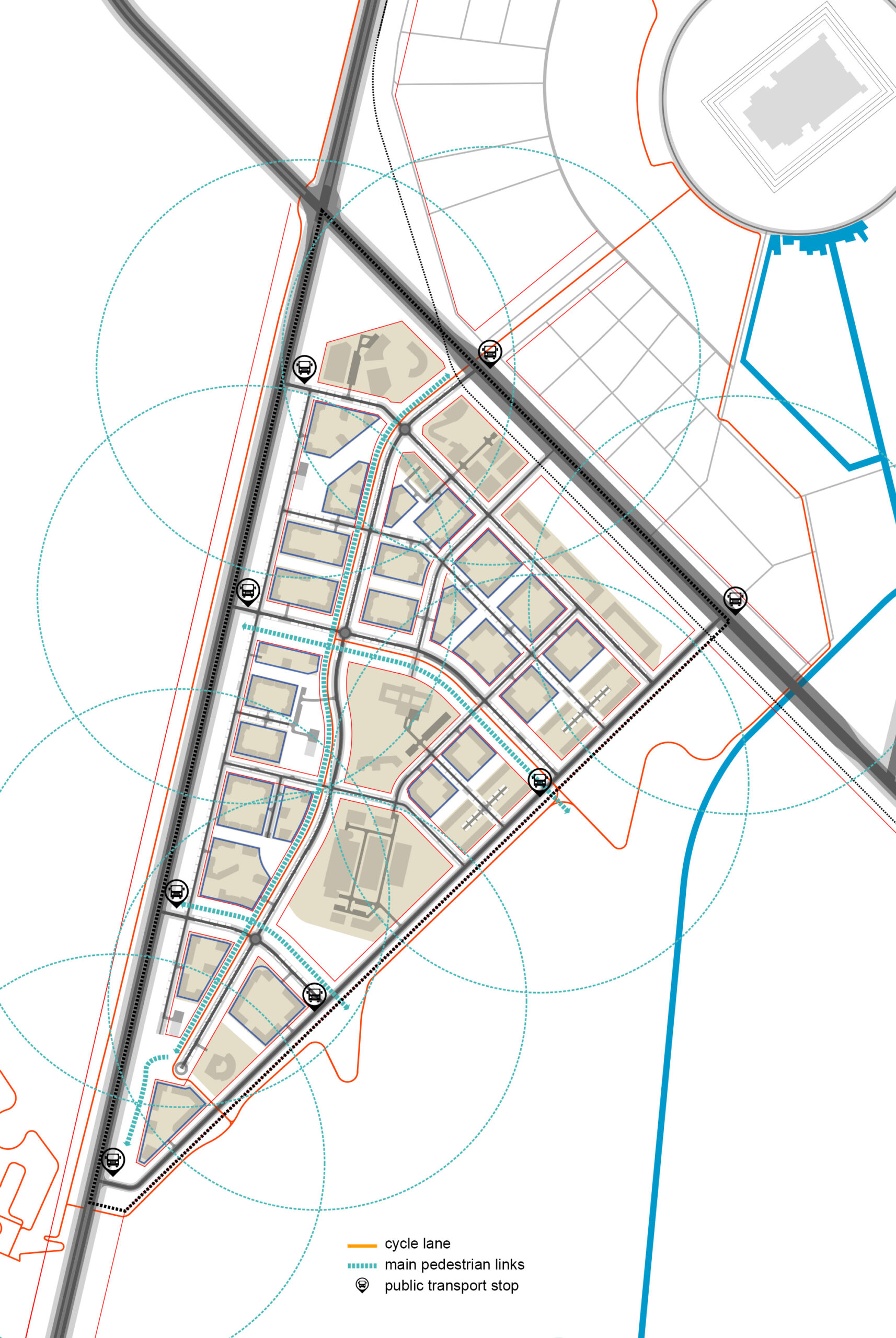
Transport framework
The designed area caters to a developed hierarchical transport system, which will effectively serve the area and avoid the transit of personal transport through residential blocks.
Pedestrian boulevards and bike paths form a continuous pedestrian-bicycle framework that cohere social facilities, housing, and recreation areas, which ensures their accessibility without motor transport.
Public transport routes are designed along the perimeter streets which will bring access to public transportation stops for all residents.
